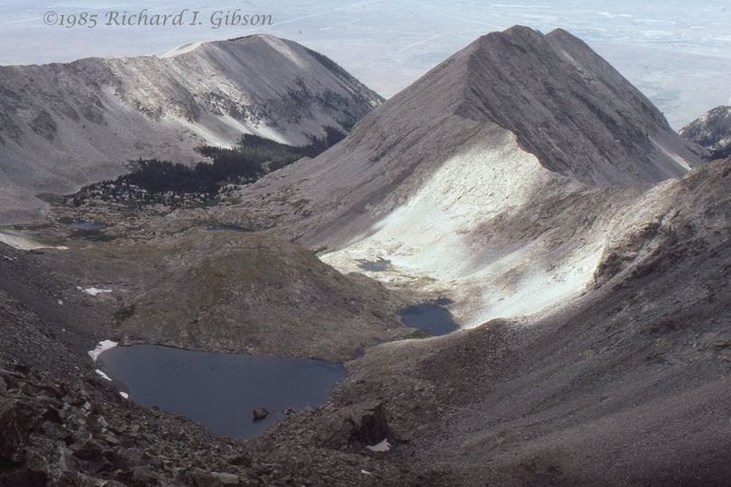
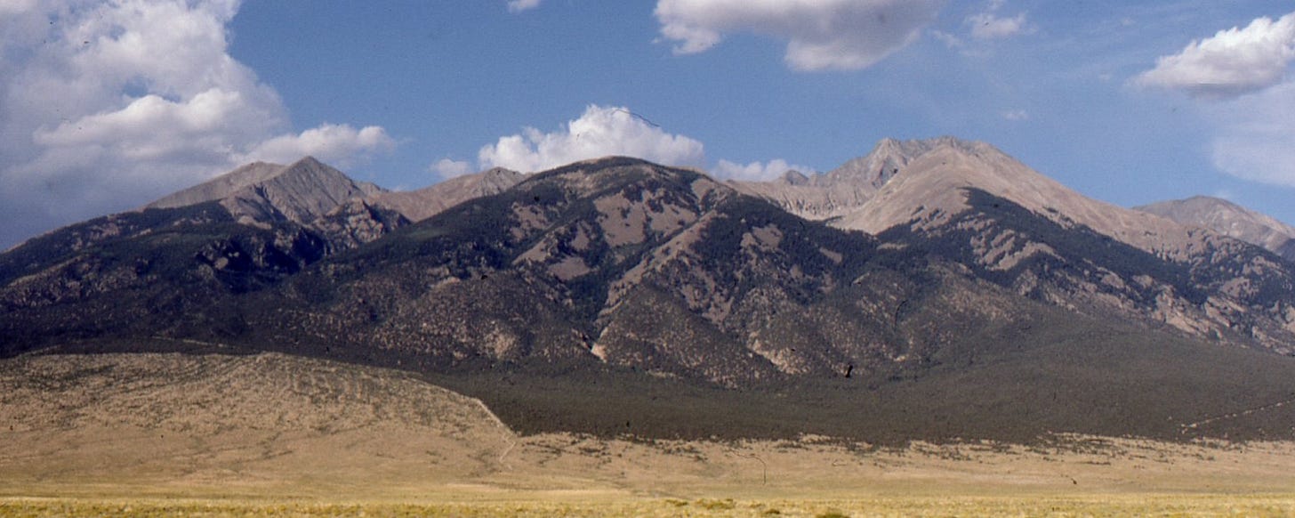
Blanca Peak at a prong of the Sangre de Cristo Range in south-central Colorado, USA, rises to 14,326 feet above sea level, making it the eighth highest point in the 48 United States (some sources give the elevation as 14,351 feet or 4,374 m and similar values). It’s also the highest point I’ve ever stood on – the photo above is a view from the top.
The range there consists mostly of Proterozoic igneous and metamorphic rocks around 1.8 billion years old, but the Sangre de Cristo mountain range is very much younger than the rocks it contains.
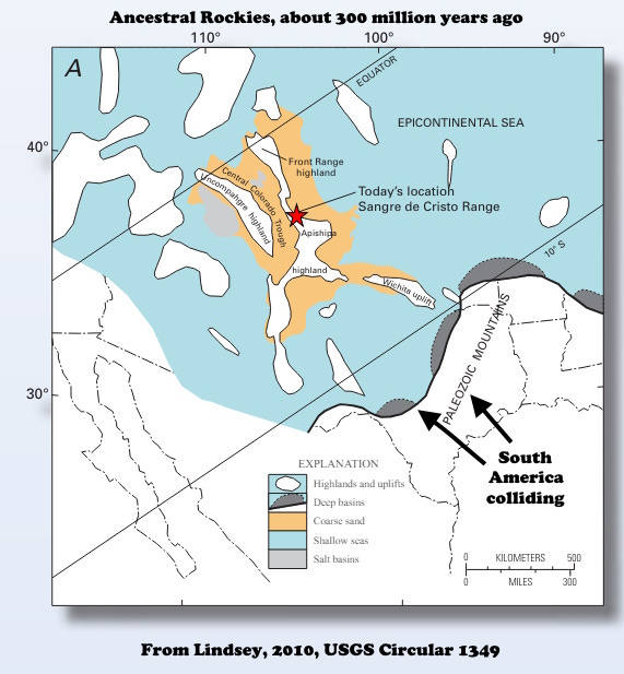
The present Front Range and ranges further west in Colorado are the consequence of three relatively recent mountain-building events. The oldest of the three is called the Ancestral Rockies and it represents an uplift about 310 million years ago (Pennsylvanian Period), caused by a collision between North America and what is now South America plus some smaller pieces, overall called the Appalachian-Ouachita-Marathon Orogeny. The collision was happening rather distantly from what is now Colorado, to the south in Texas, but it was strong enough to break the crust in Colorado.
In some of the same places a later collision (about 80 to 50 million years ago), directed mostly from the west, imprinted a second set of structures on these rocks. The Laramide-Sevier Orogeny both broke the crust (mostly in Wyoming this time) and pushed slices of material to the east, in a belt from Alaska to Mexico. The mountains that formed in that time were high enough that they eroded aggressively, so in many places they were largely buried in their own debris around 45 to 35 million years ago.
The last significant tectonic event to affect the area around Blanca Peak was a pulling apart, extension, related to the north-south Rio Grande Rift that runs from El Paso, Texas, to Buena Vista, Colorado, about 100 miles north of Blanca Peak. Long linear mountain ranges (and adjacent down-faulted basins) formed, and the modern Sangre de Cristo Range owes its existence to that activity, which began around 25 to 30 million years ago and continues to some extent today.
The details of the modern range were sculpted by glaciers in the past 2 million years or so.
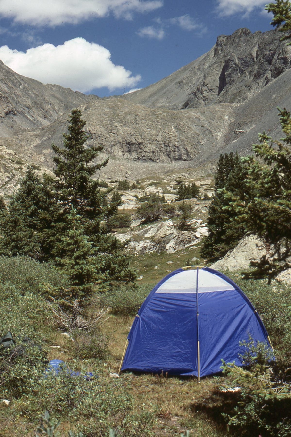
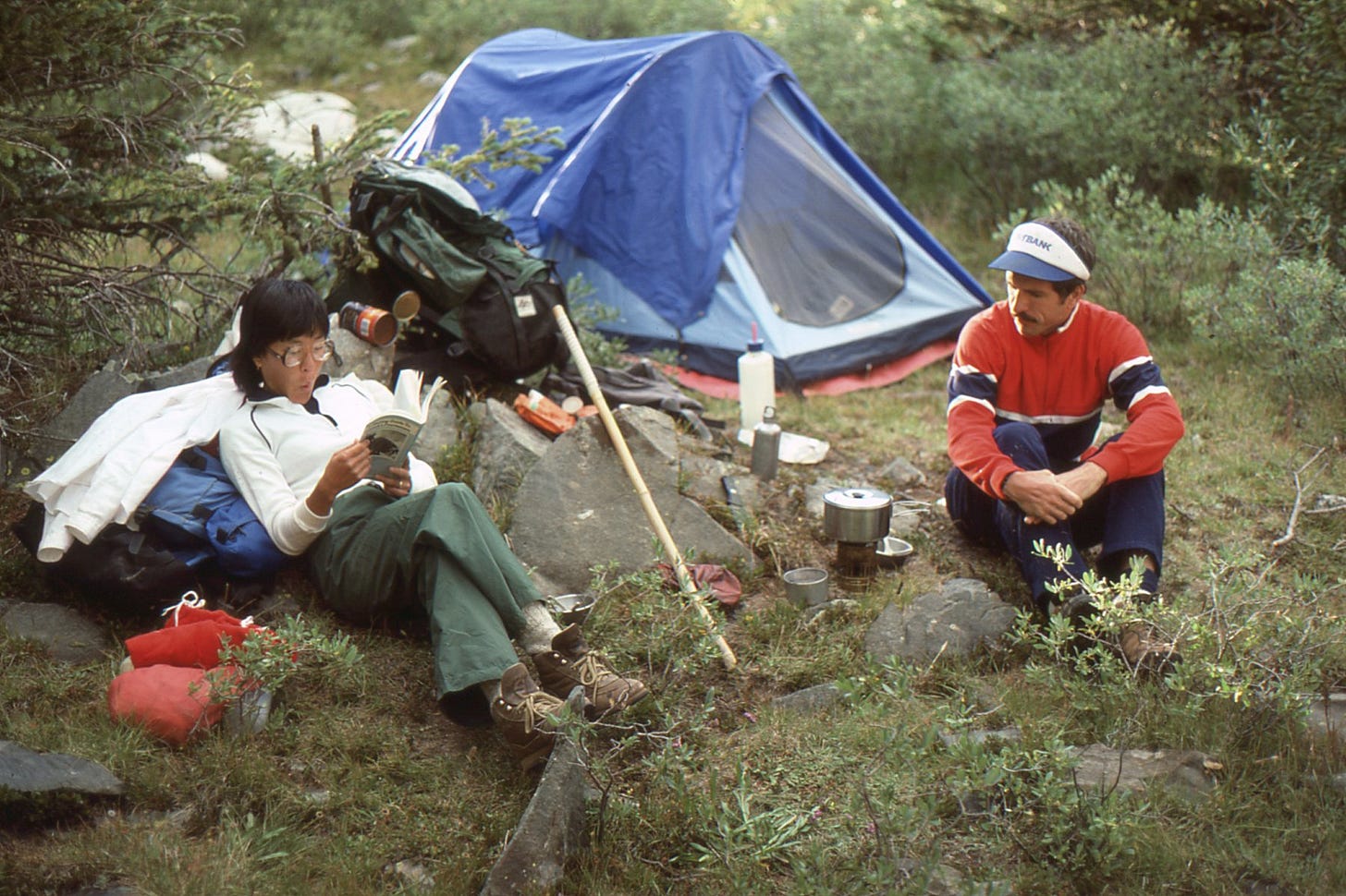
Blanca Peak has a strong topographic prominence, rising 7,000 feet above the adjacent San Luis Valley in a distance of 6 miles. My hike in 1985 covered 26 miles round trip in 2 days, with a gain of about 6,600 feet (2,000 meters). All but about 600 feet of that was on the first day, making it also the most I’ve personally ever ascended in one day.
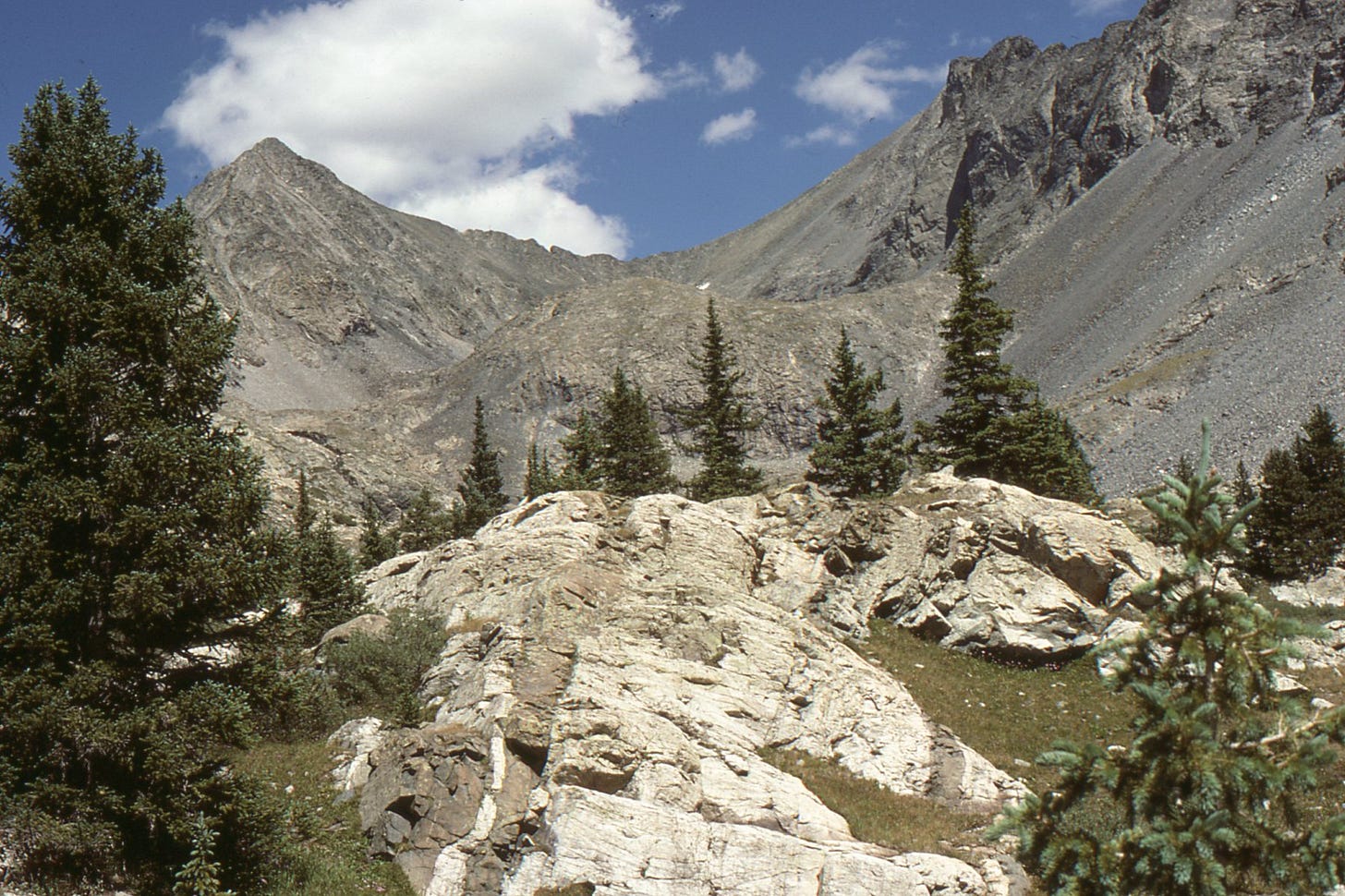
I’m pretty sure that the top photo looks west down a glacial cirque into Holbrook Creek with a string of paternoster lakes and aretes leading to Little Bear Peak out of view at left and to Ellingwood Point at right and also out of view. A cirque is a half-bowl-shaped basin where glacial ice piles up and a glacier begins to flow downward; an arete is a sharp glacial-carved ridge; and paternoster lakes are aligned and connected by streams like beads on a string (like a rosary or paternoster).
For an excellent overview of the geology of the Sangre de Cristo, see Lindsey, D.A., 2010, The geologic story of Colorado’s Sangre de Cristo Range: U.S. Geological Survey Circular 1349.
And if you like mountains and things associated with them, I strongly recommend Ronald Turnbull’s weekly newsletter, About Mountains.


Thanks for the explanation Richard, I always thought the Sangre de Cristo Range was a particularly attractive part of the Rockies. Appreciate the links too! I'm wanting to plan my own mountain top hike this season while my legs can still get me there!
Thanks Richard! I was wondering why I suddenly got 7 new subscribers today. Oh and I love "Paternoster Lakes" is that a US term or can I use it here in Scotland?