So what exactly is “tectonics?” The word comes from Ancient Greek τεκτονικός, tektonikos, which means “related to building.” Geologists use it to refer to the structural features that “build” the earth’s crust, and their changes over time. You can think of it as the architecture of the earth, with analogies to the architecture of buildings at all scales. Start with the strong concrete slab forming the foundation of a building – that’s like a craton (which means “strong”), one of the strong, stable, central cores of a continent. Then add some bricks, building blocks in buildings or mountain ranges. Then bend and break some things: tectonics in geology often focuses on folds and faults.
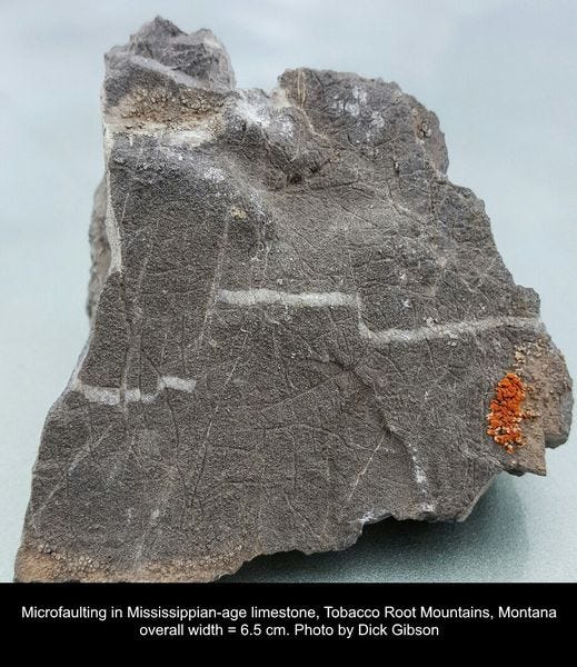
Although tectonics in geoscience often is used to mean large-scale things, to me the small-scale details, the mortar between the bricks and the cracks in them, are part of it too. This post is just to show a few such features, all of them in one package of rock, the Mississippian (Early Carboniferous) Madison Limestone, deposited about 335 million years ago in a huge shallow sea that extended from what is now Alberta to Arizona, and Montana to Indiana and beyond. In Montana, the Madison contains the upper Mission Canyon Formation and the lower Lodgepole Formation.
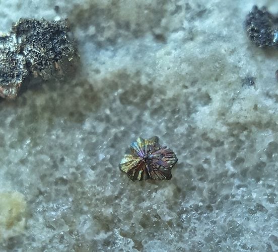
Tectonic activity such as folding and faulting creates weak zones and spaces into which mineralizing fluids can flow, resulting in exotic minerals, sometimes in economic concentrations. The examples above are just pyrite and siderite, but the Madison Limestone in Montana also hosts tungsten and uranium ores.
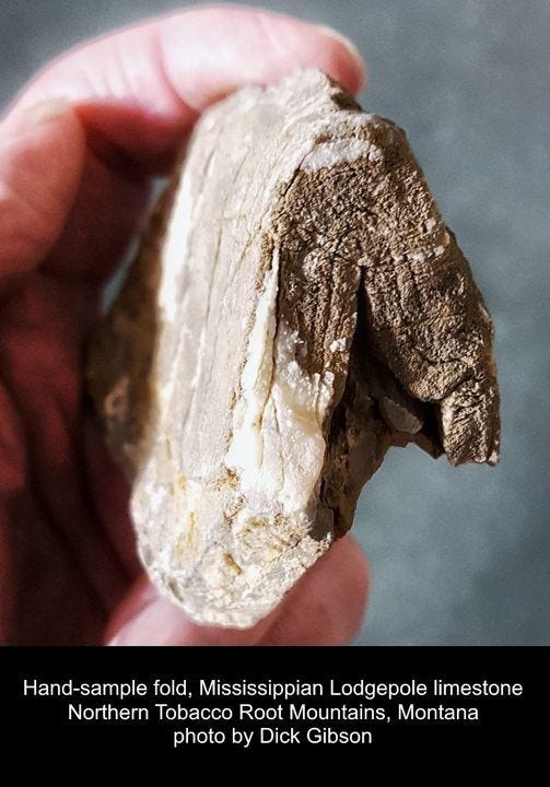
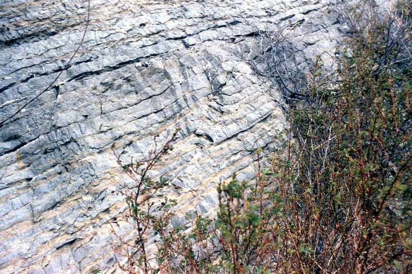
Thin-bedded limestone such as is found typically in the Lodgepole Formation bends readily, although at microscopic scales the fold likely consists of sets of tiny fractures that are slightly offset to produce the overall fold. The one above is from the northern Tobacco Root Mountains at a location where the folds range from millimeters to kilometers in scale.
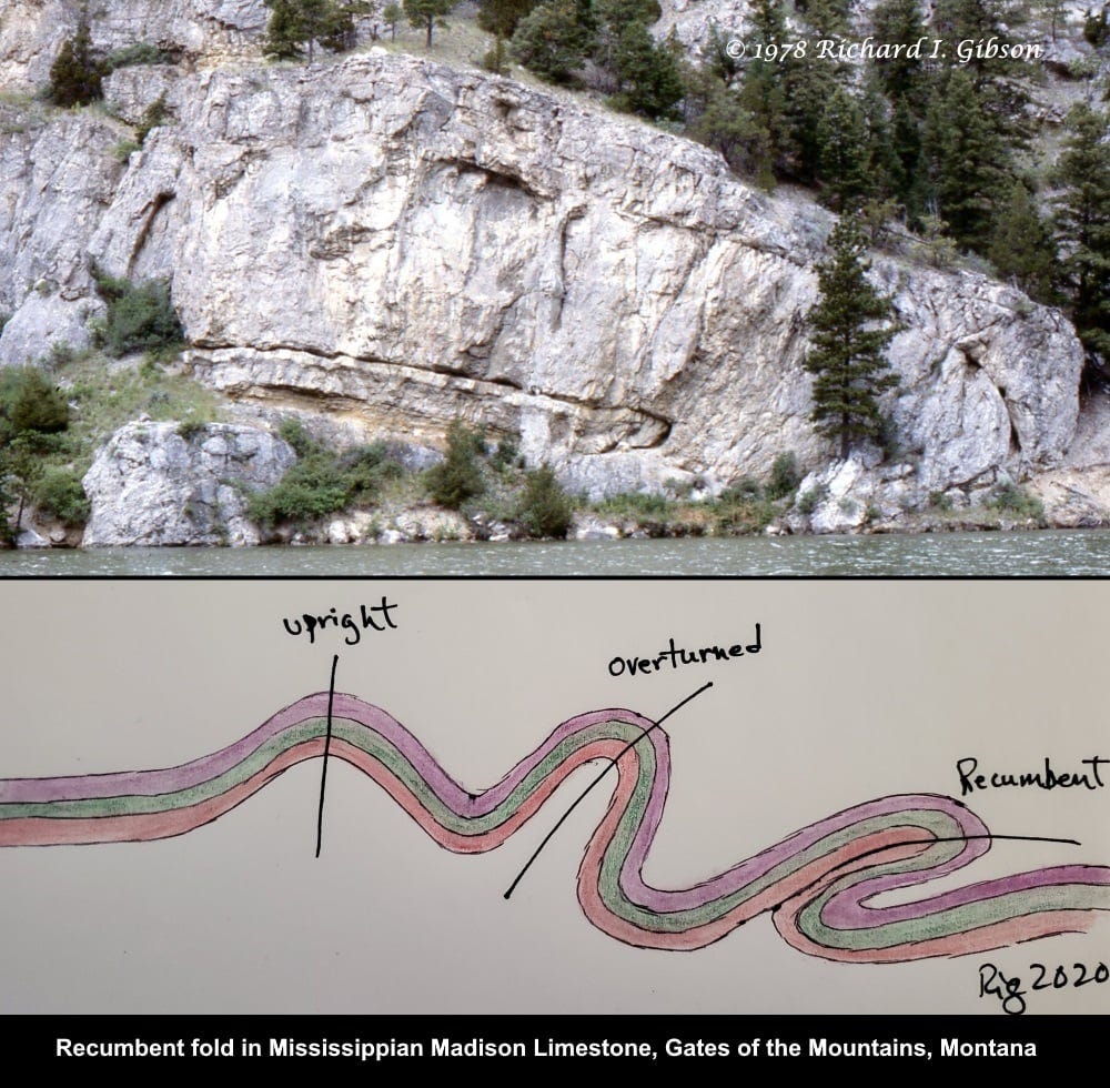
When rocks get squeezed, they bend and break. Folds, like ripples in a carpet being pushed against the wall, start out broad and simple and get more and more complex as more and more compression develops, making a progression from what we call upright to overturned to recumbent, as you see in the drawing in this image. “Recumbent” means lying down, in rocks as in people.
In the cartoon drawing the lines show the axial planes in the cross section, the positions equidistant between the two sides of the folds. The axial plane in a fully recumbent fold is horizontal. The recumbent fold in the photo is a textbook example of such a fold.
The rocks in the photo above are part of the Mississippian Madison Limestone in the Gates of the Mountains along the Missouri River. The thinness of the bed suggests it might be in the Lodgepole Formation rather than the Mission Canyon Formation, because the latter seldom has such nice bedding.
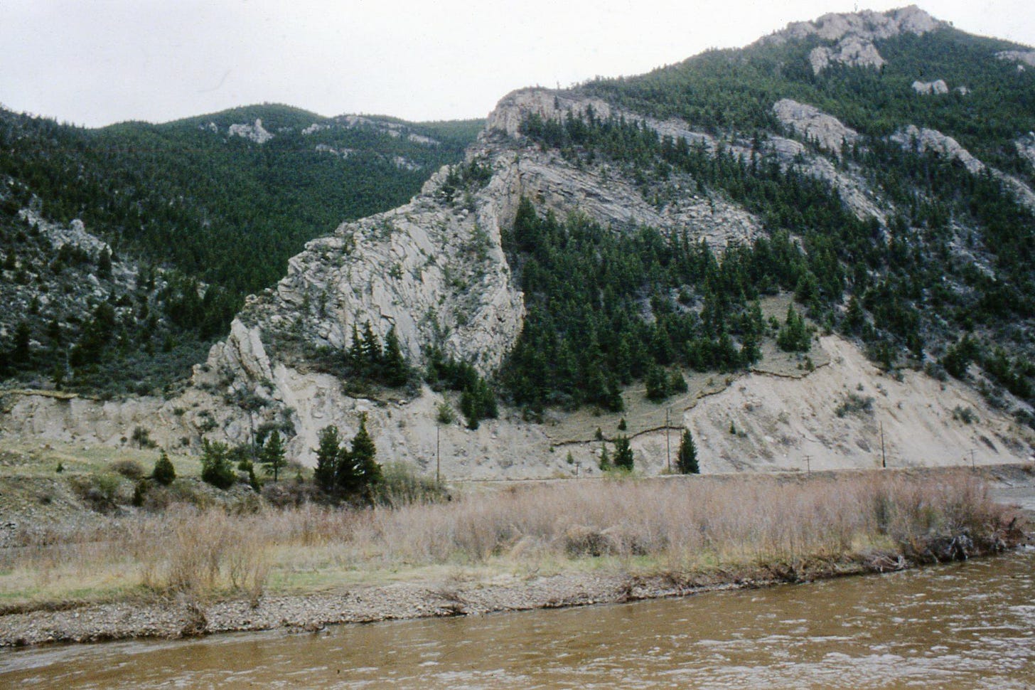
Those folds and related faults (which probably contributed to the generation of the folds) are in the northwest-trending part of the Montana Fold and Thrust Belt, an aspect of the Laramide-Sevier Orogeny that affected western Montana about 80 to 55 million years ago. The structures are complicated by being on the northwestern point of the Big Belt Mountains, which in part were uplifted later along faults that helped create the Helena Valley and the wide basin occupied by Canyon Ferry Reservoir today. The uplift of the Big Belt Mountains modified the older folds and thrust faults here along the Missouri River.
When rocks are folded as tightly as those in this photo, you get serious space problems – you just cannot accommodate the necessary geometry, so somewhere not too far away (maybe just below the nose of the fold in the thin bed) there must be potentially significant breaking and faulting, and you can see some small-scale breaking there in the nose itself.
The large asymmetrical concentric fold above is in the Lodgepole Formation in Jefferson Canyon, Montana.
Near the site of the previous photo we also find a little fault that has produced folding in the Lodgepole.
The photo above, in Sun River Canyon, Montana, shows that the Madison limestones can ride for impressive distances on thrust faults, overriding much younger layers.
In the cross section above, much of the deformation in the middle part of the drawing is the consequence of thick, strong Madison limestone (blue, labeled Mmm) pushing against the other rocks along a fault.





I like your "micro tectonics". Nice pyrite too!
I hammered open some ophiolite rock in a inactive quarry here (pondering how litigious or 'unlawfu'l this could be in the US,) found some dark rock with thin cracks filled with white mineralization. They were reminiscent of septarian cracks, but not quite, so I'm assuming some other stress cracks, not from dehydration. Inside were nicely zoned hydrotalcite micro-prisms, and peppered around generously, tinier magnetite octahrdrons on I believe bright white hydromagnesite. Yay tectonics!
Excellent! Maybe make this a zoom presentation for select groups someday?