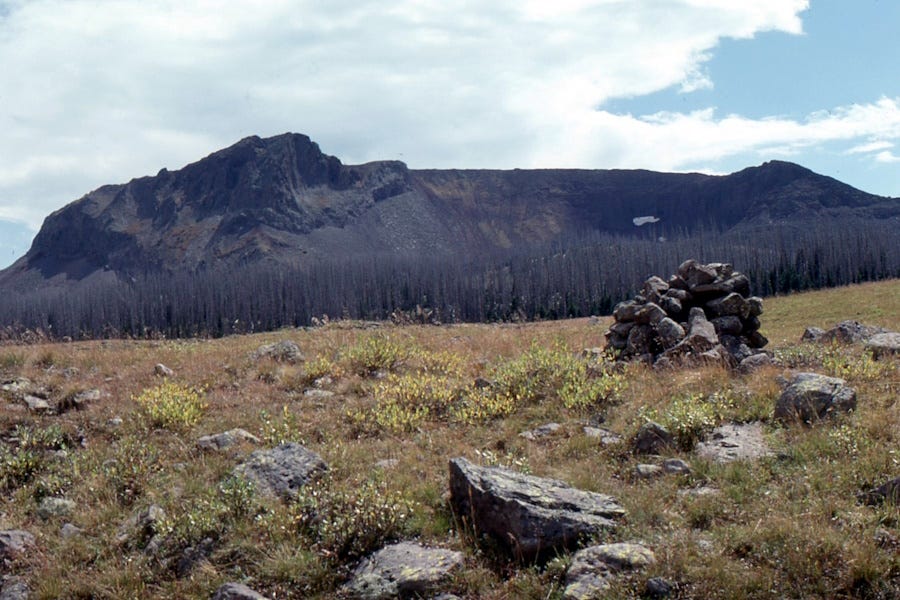
The Flat Tops Wilderness of northwestern Colorado contains terrain that’s soft and subdued, as mountains go, not the proud crags of the Front Ranges or the San Juans that usually come to mind when you think of Colorado.

The conventional geographic boundary of the Colorado Plateau sometimes excludes the White River Uplift where the Flat Tops lie, but for me geologically and tectonically they are really part of the Plateau, albeit along its northeastern edge. Like much of the Colorado Plateau, the rocks in the Flat Tops are relatively flat-lying, which contributes to their non-rugged nature.
The rocks there were largely deposited in a restricted basin between two of the main Ancestral Rockies uplifts that formed about 300 million years ago when South America collided with North America down in West Texas. The restricted nature of the basin meant that among typical sandstones and limestones, abundant evaporites (salt [halite], gypsum [calcium sulfate] and others) were also laid down, to form what we call the Pennsylvanian-age Eagle Valley Formation and its equivalents today.
The view at the top of this post looks down the upper reaches of the South Fork of the White River, with steep cliffs of the Eagle Valley Formation limestones along it. The gentle surfaces above the canyon are nonetheless at relatively high elevation—the spot where I am standing to take that photo is almost exactly at 11,000 feet (3,350 meters) above sea level, and I wasn’t on any rugged mountain top.
Shingle Peak, in the opposite view direction to the photo at the top, is composed of basaltic lava flows that are quite young, at about 23 to 20 million years old (early Miocene; Gibson [no relation] and others, 1991, The Flat Tops Volcanic Field: 1. Lower Miocene open-system, multisource magmatism at Flander, Trappers Lake: J. Geoph. Res: Solid Earth, v. 96: B8, p. 13609-13627). Although the basalt flows in places are convoluted, their resistance to erosion contributes further to maintaining the relatively flat tops of the mountains here, even at high elevations. The area was not significantly sculpted by glaciers, also helping retain the flatness.
The subduction-related tectonic activity along the western margin of North America was finished around 30 or more million years before these basalts were erupted, so that’s not their source. I think the consensus is that the basalts in the Flat Tops are associated with the opening of the Rio Grande Rift, a break in the craton that extends from northern Colorado to El Paso, Texas. The timing, geographic proximity, and geochemistry of the basalt all support this idea (Kubler and others, 2005, Petrologic and geochemical investigation of the Flat Tops volcanic field near Yampa, Colorado: Geological Society of America Abstracts with Programs. Vol. 37, No. 5, p.18). The Flat Tops basalts are among the most northerly expressions of the rift system.
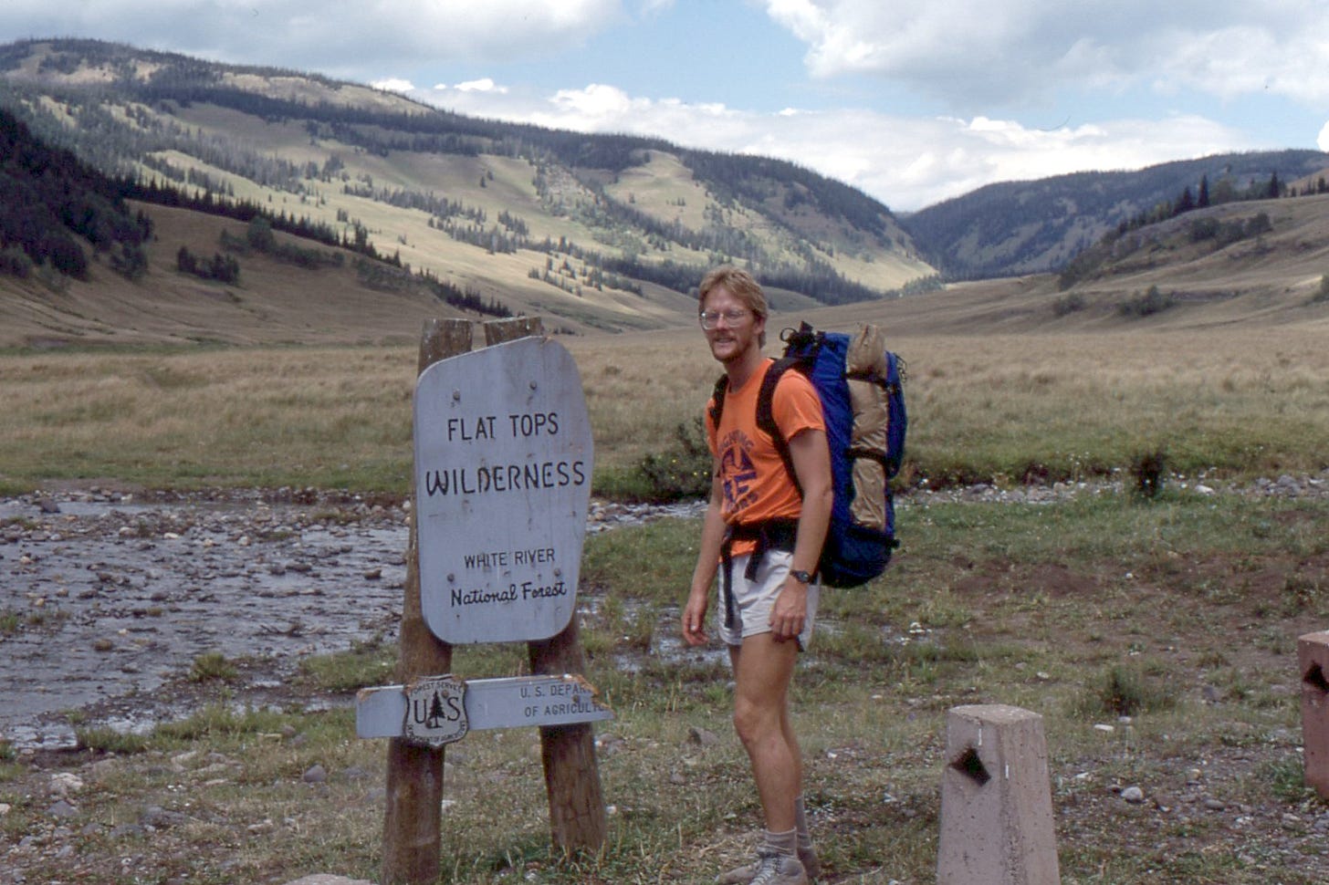
I took the photos on a 26-mile (42-km) backpack trip in September 1985 with geologist Randy Smith (in the photo above).


